Land Cover Mapping
Land Cover Mapping provided by PT Hijau Daun is essential for all our assessments.
This mapping is used and accepted as ‘fact based validation’ that our clients are complying with all their environmental commitments.
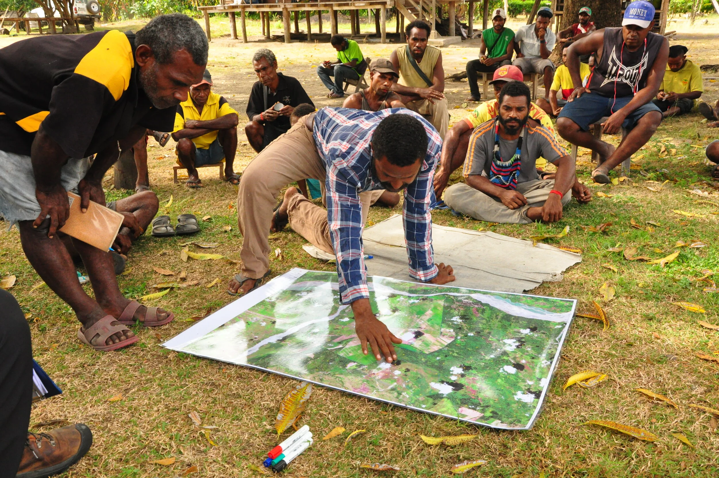
The mapping created by PT Hijau Daun uses a combination of state-of-the-art satellite image interpretation that is completed by professional skilled operators that possess an industry leading knowledge of understanding geographical landscapes and the environment.
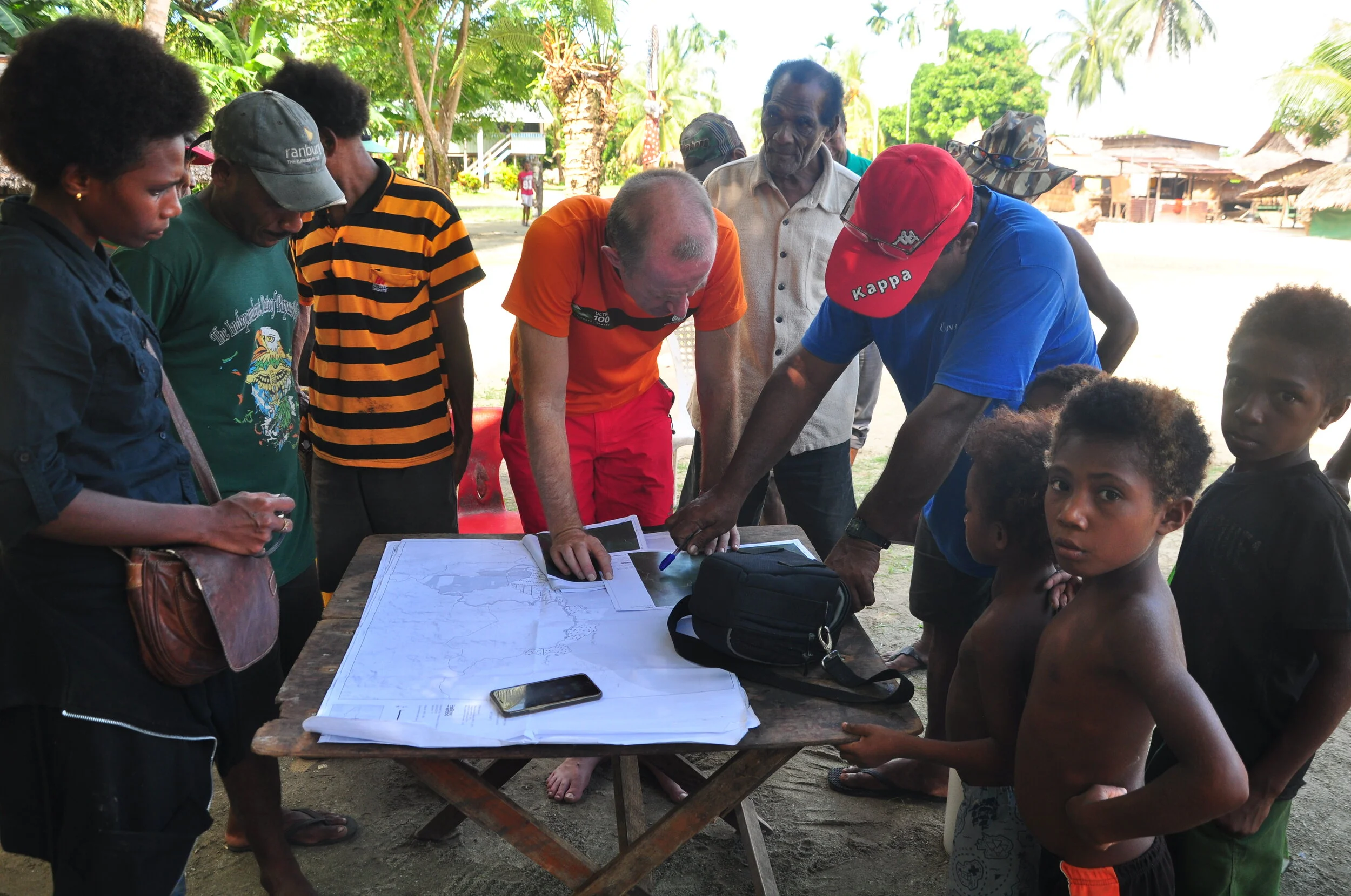
On completion of the Land Cover Mapping, PT Hijau Daun reaffirms the mapping results with ‘onsite’ ground truthing supporting the accuracy of the Land Cover Mapping report.

